North Kettle Moraine Forest
The Northern Kettle Moraine has many trails to explore on foot, bike, or horse on the south-eastern side of the state, roughly between Glenbeulah and Kewaskum. The Ice age Trail alone has over 32 miles of linear trail!
However, if you’re looking to explore this forest (gorgeous in all seasons) on looped trails to do day hikes or trailruns without doing an out and back, here are three great options to get you started:
Note: As it is a State Forest, you will need a vehicle admission sticker to park. Look into buying an annual sticker if you’re going to visit a state park, forest or recreational area in WI more than three times within the calendar year! You can buy one at many offices inside state parks, or online at https://dnr.wisconsin.gov/topic/parks/admission .
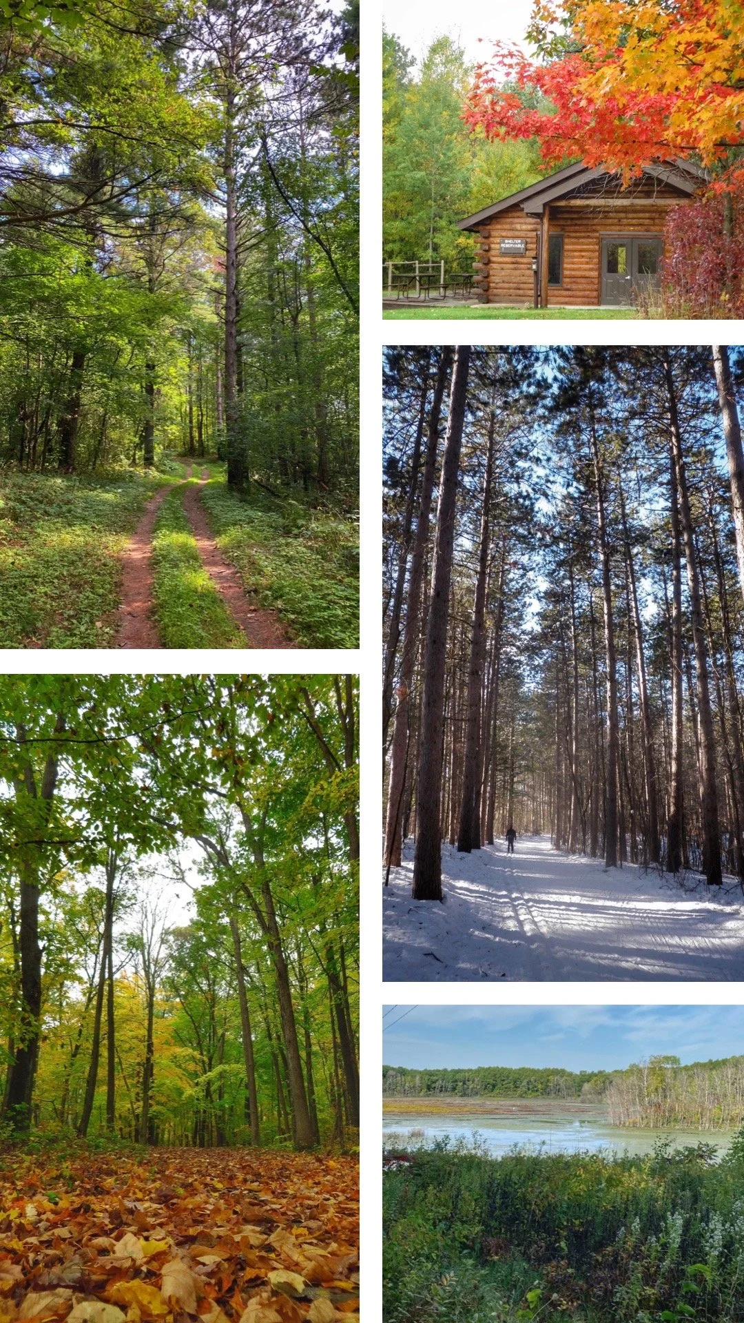
Fall at the Greenbush Group Camp.
Greenbush Recreational Area
The Greenbush Recreational Area has two main systems of trails:
A) color-coded trails for hiking and trailrunning in the summer that switch to cross-country skiing (both classic and Nordic) in the winter
B) numbered trails for mountain biking (permit required) in the summer and snowshoeing as well as fat biking in the winter.
All these trails are loops of varying lengths (from .7 miles to 5.1 miles) and levels of difficulty. You can access them from two parking lots along Kettle Moraine Drive, where you will find a map of the area as well as bathrooms.
The color-coded trails are wide, so if you’re looking for more of a single-track feel to your hiking or running, consider the Ice Age Trail, which goes through this area as well.
The longest trail (purple) is a mix of gently rolling hills, steep sections, and a couple of flat segments of soft dirt and pine needles. There are benches scattered along the way if you need a break.
It is really beautiful out there, in all seasons, and there is a shelter at the Group camp area parking lot where you can rest after your hike, take shelter from the mosquitoes for a picnic, or warm up during the winter in between loops on your skis or snowshoes!
Click here for a map of the trails.
View from the top of the Parnell Tower in Spring.
Parnell Tower Hiking Trail
The Parnell Loop is a 3.4 mile trail near Plymouth, WI. It’s not a difficult trail but you have to watch where you step because of rocks and roots, and as it is a loop you either turn around soon or commit to the whole thing. It’s well marked (purple) and there are not many side trails to get lost on.
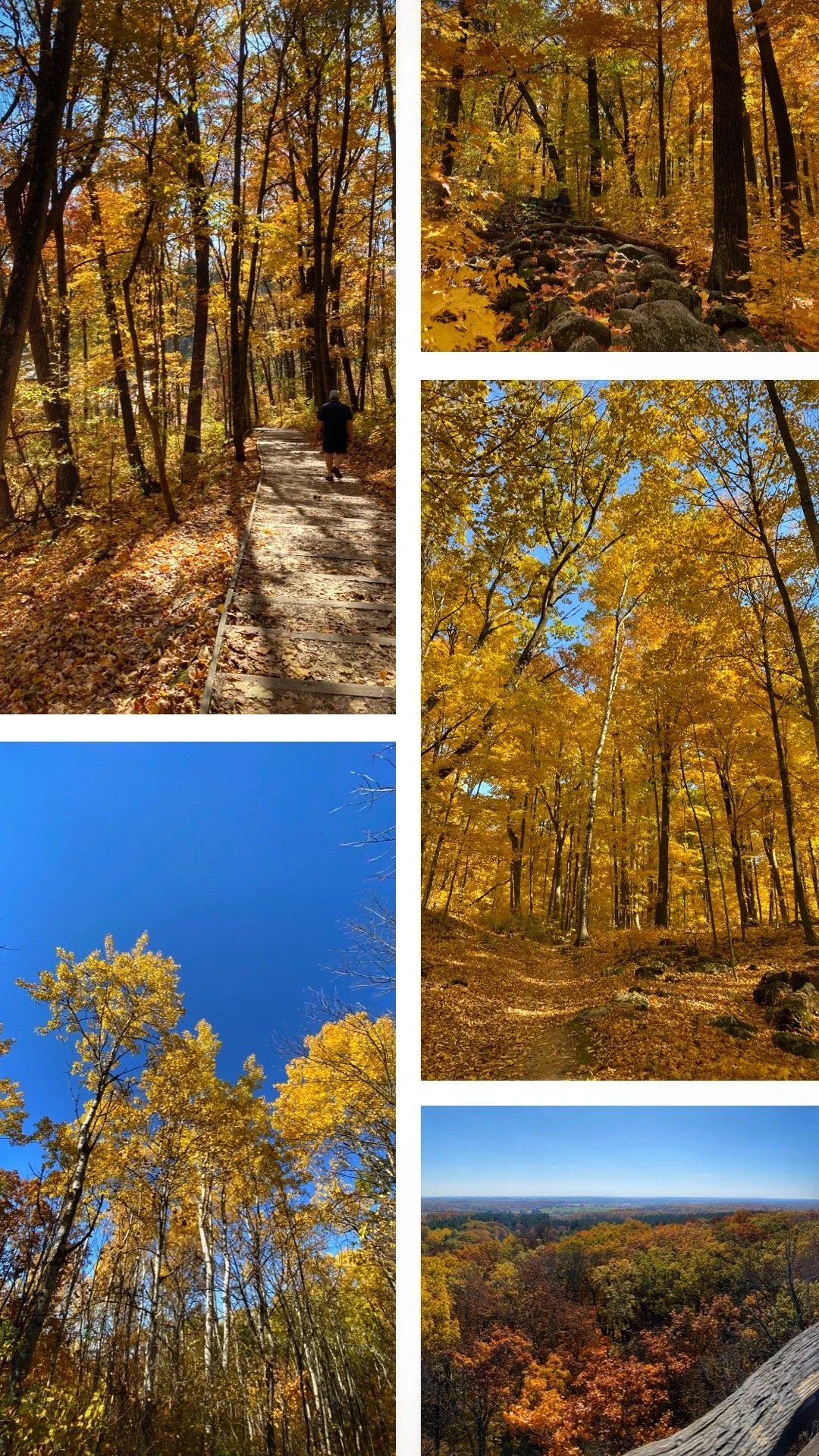
It’s a beautiful trail but the Fall is a really special time to walk it, as you can see on the photos here. The other special feature of the trail is the 60-foot Parnell Observation Tower: from the top, you get a 360-degree view at the highest point of observation in the Kettle Moraine (as seen above).
From the parking lot (which features a bathroom and water) the tower is not very far: you get to it via a long (not steep but long) set of steps (top left photo). There is an additional bathroom on trail near the Parnell Trail Shelter #4, less than a mile from the tower.
To see a video of the trail on a gorgeous day in October, click here!
Zillmer Trails
Zillmer has a system of four loops of varying lengths (the shortest being 1.2 miles long and the longest 5.4 miles) and levels of difficulty (the longest is also the toughest with a few big hills… and nice views!). It’s beautiful though, in all seasons, and can be used for skiing in the winter.
There is a very large shelter near the parking lot, where you can rest or warm up in between loops. It’s bigger than the one at Greenbush. Bathrooms are also available right by the parking lot.
And if you’re feeling very adventurous, there is a backpacking shelter in the center of the loops, reservable from April to November…
For a detailed map, click here.


